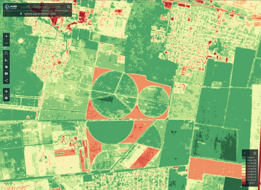
Satellite image segmentation is a process that involves dividing a satellite image into multiple segments or regions. Each segment represents a specific object or area of interest, such as buildings, roads, or vegetation.
This technique assigns a label to every pixel in the image. It helps in identifying regions and the boundaries between them.
Image segmentation is crucial in remote sensing for several reasons. It allows for the detailed analysis of land use and land cover.
It also aids in monitoring changes over time, such as urban expansion or deforestation. This information is vital for urban planning, environmental monitoring, and disaster management. Real-Time Deforestation Tracking: How AI is Changing the Game.
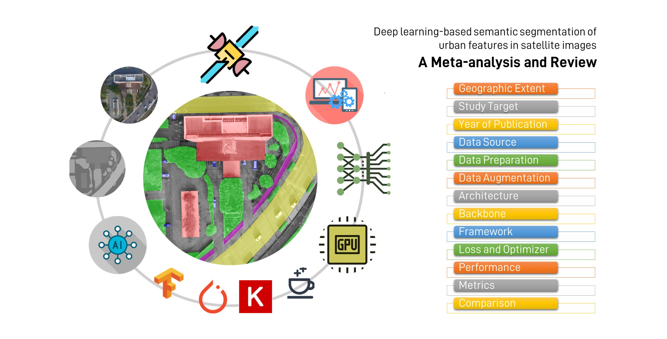
Semantic segmentation involves classifying each pixel in an image into a specific class. For example, all pixels representing buildings are labeled as "building," while all pixels representing roads are labeled as "road."
This technique provides a broad understanding of the different classes present in an image. It is widely used in various applications such as autonomous driving, medical image analysis, and remote sensing.
Instance segmentation goes a step further than semantic segmentation. It distinguishes between different instances of the same class.
For example, it can differentiate between individual buildings in an image. This allows for a more detailed analysis of the objects present in the scene.
U-Net is a popular architecture for semantic segmentation. It consists of a contracting path to capture context and a symmetric expanding path for precise localization.
In urban planning, satellite image segmentation helps in mapping and monitoring infrastructure. This includes roads, buildings, and other urban features.
This data is essential for planning new developments. It helps to manage existing infrastructure.
Segmentation is used to monitor environmental changes. It detects natural disasters like floods or landslides.
This information is crucial for disaster response and mitigation efforts. It's also useful for assessing the impact of urbanization on the environment.
Integrating data from multiple sensors, such as SAR and LiDAR, can enhance segmentation accuracy. Multi-source data fusion provides a more comprehensive view of the Earth's surface.
Combining different data types can improve the robustness of segmentation. This is according to "Revolutionizing urban mapping: deep learning and data fusion strategies for accurate building footprint segmentation".
Research is ongoing to develop more efficient and accurate deep-learning models. Innovations like the transformer architecture, originally developed for natural language processing, are being adapted for image segmentation tasks. Understanding Transformers Architecture: A Beginner's Simple Guide.
These advancements can lead to better performance and reduced computational demands. This is highlighted in the article "A Beginner's Guide To Segmentation In Satellite Images."
Satellite image segmentation is a powerful technique for analyzing Earth observation data. It has wide-ranging applications in agriculture, urban planning, and environmental monitoring.
While challenges exist, ongoing advancements in machine learning and data integration promise to enhance its capabilities further. It continues to evolve as a critical tool for understanding and managing our planet.